


By Eric Stock
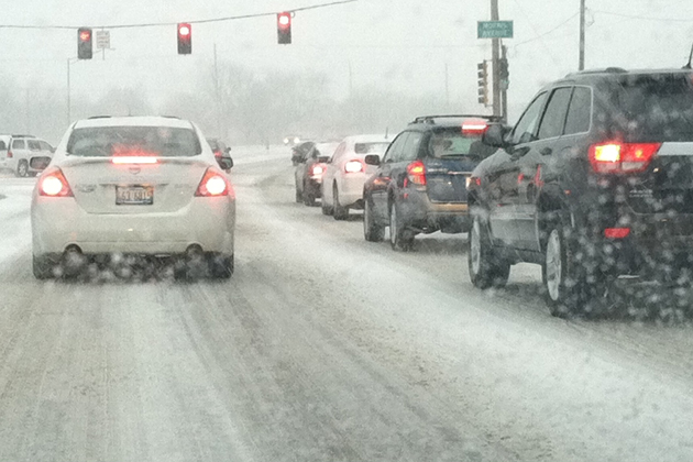
LINCOLN – Winter officially ended on Tuesday, but it appears winter weather is far from over in Central Illinois.
The northern part of the WJBC listening area including Livingston and Woodford counties will be under a Winter Storm Warning from 10 p.m. Friday to 3 p.m. Saturday, as a narrow but strong band of snow could dump between five and nine eight inches of snow, according to the National Weather Service. McLean and Tazewell counties are under a Winter Weather Advisory from 7 p.m. Friday to 4 p.m. Saturday. Ford County is under a Winter Storm Watch from late Friday through Saturday afternoon.
“Areas up north are actually going to see snow falling Friday night and that’s when they’ll start picking up accumulation, but any snow that falls on Saturday due to a higher sun angle, is going to have a hard time sticking to the ground, especially roadways,” said WMBD-TV Chief Meteorologist Chris Yates.
Yates said it appears McLean County won’t see much accumulation, but if the storms shift to the south, we could see heavier snow.
He attributes the early spring snow to all of the cold air seeping into the eastern United States.
“(It’s)what (meteorologists) call a blocking pattern, that’s a pattern of multiple nor’eaters impacting the northeast,” Yates said. “It was basically only a matter of time before one came in at just the right time and the right angle for us to get some snow,” Yates said.
Yates said while this is about three weeks later than Bloomington-Normal’s typical last snowfall, it’s far from the latest. That came on April 11th, 1997.
Eric Stock can be reached at [email protected].