


BLOOMINGTON – With the exception of some occasional shots of cold air, this winter has been relatively mild for Central Illinois.
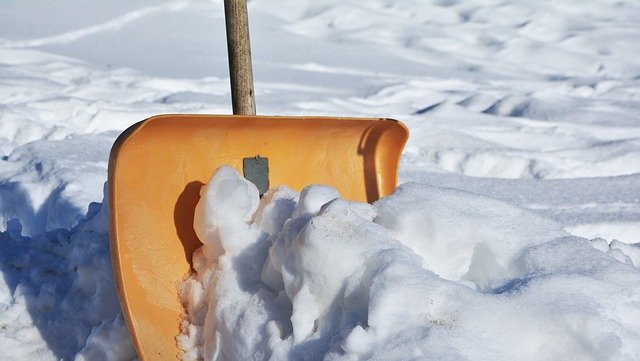
In fact, Peoria has only received 7.3 inches of snow so far this season, putting us more than 10 inches below average. We’ll have a good chance at taking a chunk out of that snowfall deficit this week as three storm systems head our way.
Storm 1 – Monday night through Tuesday
The first in our parade of storms will generally miss Central Illinois to the south. More meaningful accumulations of a few inches are possible across far southern Illinois. Locally, a few spots could receive a dusting of snowfall from isolated snow showers and flurries. Any snow that does fall will do so between 10 pm Monday and 12 pm Tuesday.

Storm 2 – Wednesday through Wednesday Night
This system is the one expected to bring high impacts to all of Central Illinois. Widespread accumulating snow is expected along with periods of moderate to heavy snowfall rates. Snow is expected to develop sometime Wednesday morning, with the heaviest snow arriving Wednesday afternoon and evening.
Several inches of snow will be likely. Ensemble guidance continues to show a 50-80% chance of 4 or more inches of snow west of I-55. Snow-covered roads and hazardous travel are likely during the Wednesday evening commute, with some lingering impacts possible during the Thursday morning commute. Wind speeds do not look all that strong, but a few gusts of 20-25 mph will be possible throughout the event.


Storm 3 – Friday night through Saturday night
Confidence remains low in regard to the evolution and track of this system, but it appears we’ll be in for at least another shot of snow. This storm could start off as rain or a rain/snow mix Friday night, with a change over to snow at some point on Saturday.
The exact track and speed of the system will determine how much snow we end up with. Recent model trends are showing a colder and snowier system, but this could change over the next few days. Ensemble guidance is giving areas along and north of a Macomb to Bloomington line a 40-50% of receiving at least 2 inches of snow, but these probabilities are not factoring in the more recent models, which show a snowier system.

If you have plans to travel this week, particularly on Wednesday or Saturday, be sure to monitor the forecast for more specifics on timing and impacts as we get closer.
WMBD TV can be reached at [email protected].